Barden: the long ridge day on northern Senja
775 metres above Ersfjord. A DNT Red day with a long approach, exposed final ridge, and full Fjellvettreglene protocol. Summer dry conditions only.
Barden is the serious hike on northern Senja. 775 metres, 11 km round trip, 5 to 6 hours, DNT Red. Long approach, steep final ridge, real exposure. Summer dry conditions only. Full Fjellvettreglene protocol applies.
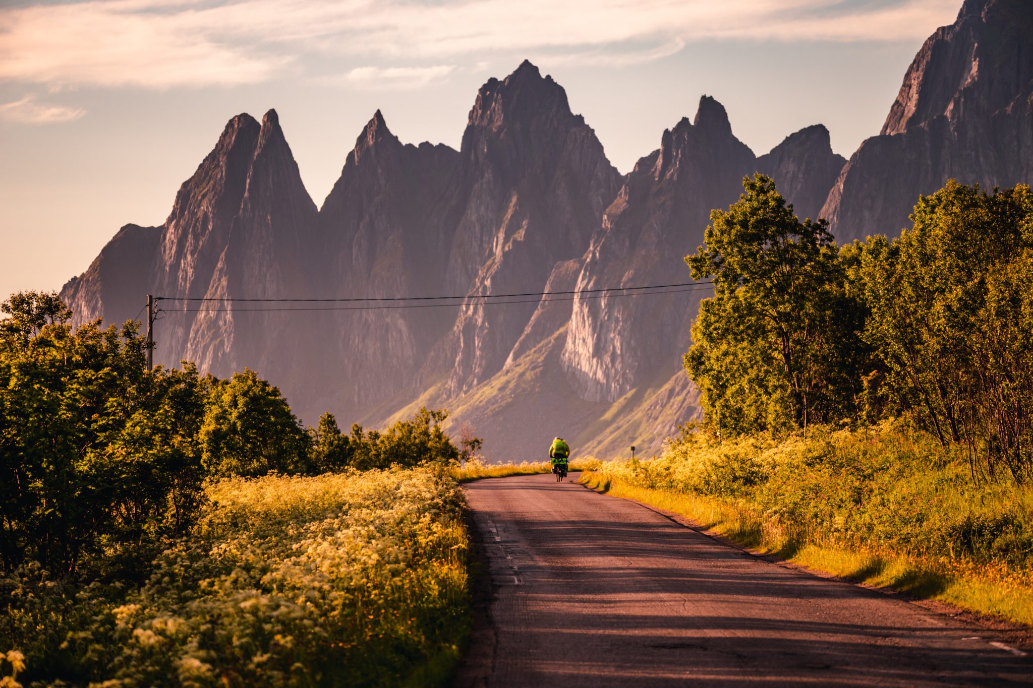
Barden is the hike on northern Senja that most guidebooks leave off. 775 metres above Ersfjord, a long approach across open ground, a steep final ridge with real exposure, and a summit that looks down on the Okshornan spires from the inland side. DNT Red. This is the big day out for anyone who came to Senja and already did Segla.
It is also the hike where the weather decides the day. Rain turns the approach slope into wet grass and the upper ridge into a serious proposition. The turn-back decision on Barden is real.
The honest grade
DNT Red. Strenuous, with scrambling and exposure on the final 150 metres. Long approach. The path is marked but in places the line becomes indistinct across open slope. In cloud, navigation on the upper section is a real problem. This is a hike for competent map-and-compass users, not phone-GPS tourists.
The route
Trailhead. Ersfjord, on the north coast of Senja. Park near the bridge at the head of Ersfjordstranda. Limited spaces, arrive early.
Lower section. The path climbs steadily across open grass and birch scrub for the first 2 km. 300 metres of gain in 75 minutes.
Middle section. Long traverse across open slope and heather, slowly gaining height. 250 metres of gain across 3 km. This is where the path becomes faint. Cairns mark the key turns.
Upper ridge. Final 150 metres is steep with hands-on sections. Exposure on the north side. 45 to 60 minutes.
Summit. Small cairn, drops on three sides. The view runs from Okshornan to the north coast and inland to the Senja plateau. 20 to 30 minutes on top is enough.
Descent. Same route. 2.5 hours. Most people misjudge the descent time and end up running the last hour. Do not.
The turn-back rule
Three triggers. One: cloud closes on the upper ridge before you reach it. The navigation problem is real and the exposure is not worth forcing. Two: rain starts on the approach. The upper ridge on wet rock is a different grade entirely. Three: any member of the group is moving noticeably slower than planned at the 2-hour mark. You will not get back by 20:00 and the late descent in wet grass is where ankles break.
Gear
- Proper hiking boots with ankle support. Not trainers, not approach shoes.
- Full waterproof shell plus windproof layer.
- Map and compass. Turkart Senja 1:50,000 minimum. Phone GPS is a backup, not the primary tool.
- Head torch in shoulder season — 15:00 in October is close to dark.
- 2 litres of water, food for 6 hours.
- First-aid kit with a blister plaster supply. The descent chews feet.
Fjellvettreglene applied
All nine rules apply on Barden. The load-bearing ones: Rule 1 (plan and tell someone your route), Rule 3 (check the weather the night before and on the day), Rule 4 (be equipped to help yourself), Rule 7 (map and compass, not just phone), and Rule 8 (turn back in time).
Logistics
| Item | Detail |
|---|---|
| Trailhead | Ersfjord bridge car park |
| Parking | Limited, ~15 cars. Arrive by 08:00. |
| Season | July to mid-September, dry conditions |
| Nearest fuel | Silsand or Gryllefjord |
| Emergency | 112. Nearest A&E: Tromsø (UNN) |
Who should do Barden
Fit hikers who have already done Segla and want a bigger day. Anyone comfortable with a DNT Red ridge and competent with a paper map.
Who should skip it
First-time Senja hikers. Anyone without recent ridge-scrambling experience. Anyone who cannot commit to turning back on the trigger conditions above.
Plan your Norway itinerary
Use our free, interactive trip planner to map out your route through Norway, book verified eco-friendly cabins and transport, and sync with local ferry timetables.
Up Next: Keep Exploring
RIB Fjordsafari Geirangerfjord: what the cruise ship cannot show you
The RIB Fjordsafari puts you 15 meters from the Seven Sisters waterfall at 35 knots. Here is exactly what works, what does not, and whether the 895 NOK price tag is justified.
Kayaking beneath the Seven Sisters: 4 hours on Geirangerfjord at paddle height
The Geiranger kayak tour puts 8 paddlers beneath the Seven Sisters waterfall at arm's reach from the cliff wall. 4 hours, 1,550 NOK, drysuits provided. Here is exactly what the experience delivers and who should book it.
Geiranger by car: Eagle Road, Flydalsjuvet, and Dalsnibba in one drive
The Eagle Road climbs 620 meters in 11 hairpin bends. Dalsnibba sits at 1,476 meters with the fjord as a thin blue line below. Here is how to drive both in a single day without fighting the tour buses for parking.