ドゥクスフィヨルドフィエルレ:マーゲロイア島南部にある静かな内陸の頂
ドゥクスフィヨルドの上にあるDNTブルーのツンドラでの一日。標高420メートル、8キロ、3〜4時間。何もない荒野、夏にはトナカイの生息地、まばらなケルン。
ドゥクスフィヨルドフィエルレは、マーゲロイア島南部にある静かな内陸の頂です。標高420メートル、往復8キロ、所要時間3〜4時間、DNTブルー指定。開けたツンドラ、夏はトナカイの生息地、まばらなケルンがあります。ここは標識のない観光ルートではないため、ナビゲーションスキルが必要です。
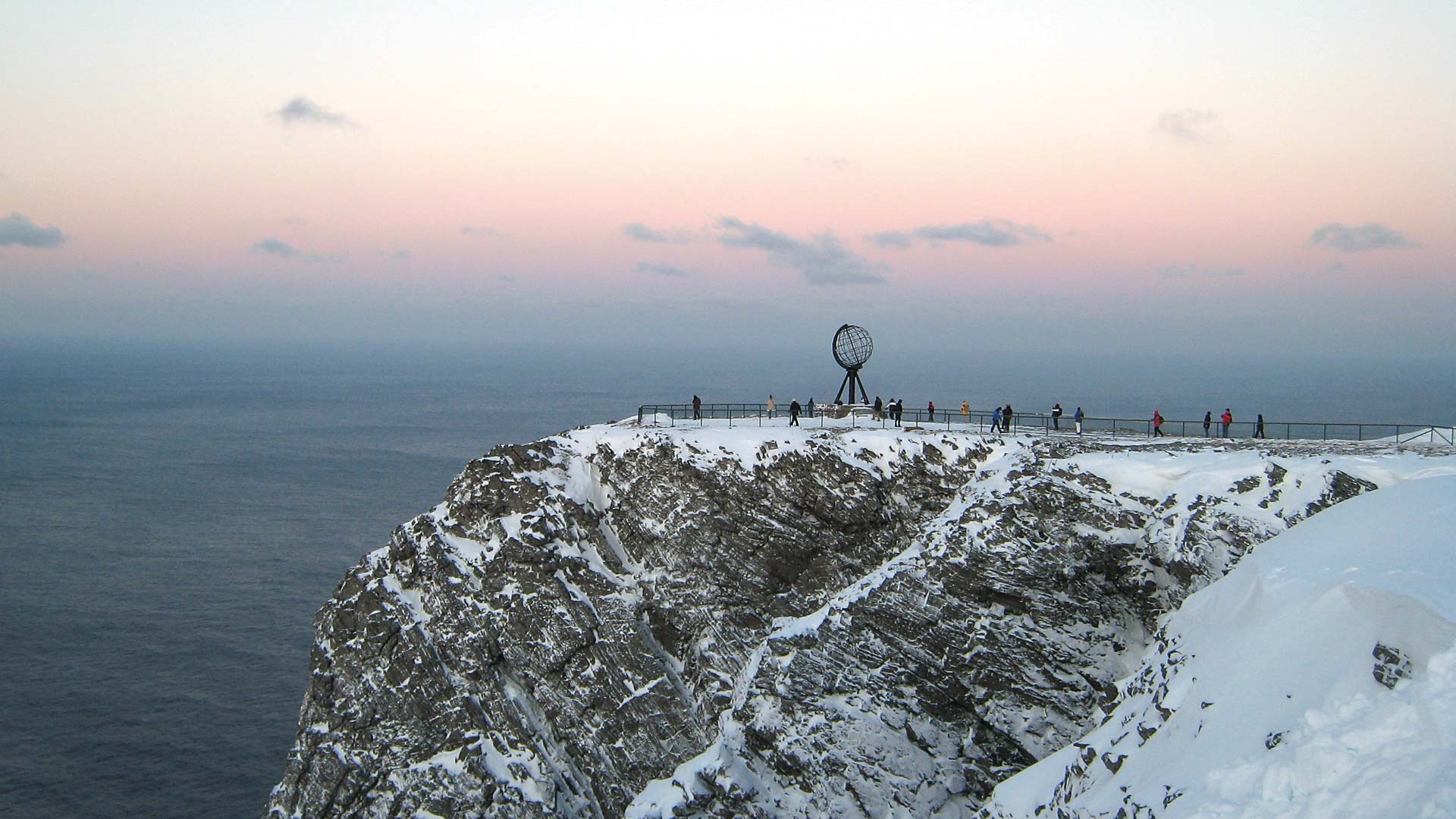
Most travellers on Magerøya see two things: the Nordkapp plateau and the E69 between Honningsvåg and the cliff. Duksfjordfjellet is a deliberate step away from both. 420 metres above Duksfjord on the southern end of the island, DNT Blue, with sparse cairns and open tundra in every direction. Reindeer graze the upper slopes in summer. You will not see another hiker most days.
This is the right hike if you came to Nordkapp and want one day off the tourist loop.
The honest grade
DNT Blue. The difficulty is not technical. It is the combination of sparse marking, open tundra with no clear line, and weather that can close in within 30 minutes. Anyone comfortable with a map and compass will find the route straightforward. Anyone relying on phone GPS in a 3G-patchy area will not.
The route
Trailhead. Park near Duksfjord at the small lay-by signed for the hill path. Limited spaces, roughly 6 to 8 cars.
Lower section. Faint path across open heath climbing toward a broad ridge. Follow cairns — they are spaced 100 to 200 metres apart. 250 metres of gain in 75 minutes.
Upper section. Open plateau with rolling ground and scattered tarns. Navigate to the high cairn. 45 minutes.
Summit. Small cairn with a view south across the fjord and north toward the interior of Magerøya. Reindeer often visible in summer — give them space.
Descent. Same route. 90 minutes.
The turn-back rule
Fog with visibility under 100 metres: turn back immediately. The cairns disappear and compass bearings become the only tool. If you are not practiced at a bearing-plus-pace-count technique, this hike is not for you in fog.
Gear
- Waterproof boots.
- Full shell, windproof, insulating mid.
- Paper map. Turkart 1:50,000 for Magerøya.
- Compass you know how to use.
- Head torch in shoulder season.
- 1.5 litres water, food for 4 hours.
Fjellvettreglene applied
Rule 1: tell someone your route and return time. Rule 4: equipment for self-rescue in empty terrain. Rule 7: map and compass, not phone only. This rule is load-bearing on Duksfjordfjellet. Rule 8: turn back in fog.
Logistics
| Item | Detail |
|---|---|
| Trailhead | Duksfjord lay-by, southern Magerøya |
| Drive from Honningsvåg | 35 minutes |
| Season | Late June to mid-September |
| Phone signal | Patchy. Do not rely on GPS apps. |
| Emergency | 112. Honningsvåg medical centre. |
Who should do Duksfjordfjellet
Experienced hikers comfortable with sparse marking. Travellers who want a genuinely empty day on Magerøya. Anyone prepared to turn back in fog.
Who should skip it
First-time Arctic hikers. Anyone without map-and-compass competence. Anyone short on weather margin.
ノルウェー旅行のプランを立てる
無料のインタラクティブなトリッププランナーで、ノルウェーのルートを計画し、認証済みのエコフレンドリーな宿泊と交通を予約し、現地のフェリー時刻表を確認できます。
Up Next: Keep Exploring
RIBフィヨルドサファリ ゲーランゲルフィヨルド:クルーズ船では味わえない体験
RIBフィヨルドサファリなら、セブンシスターズの滝からわずか15メートルの距離まで時速35ノットで大接近。このツアーの魅力、惜しい点、そして895ノルウェークローネという料金が本当に妥当なのかを正直にレビューします。
セブンシスターズの滝の下でカヤック体験:ガイランゲルフィヨルドをパドルで4時間
ガイランゲルでのカヤックツアーでは、8名のパドラーがセブンシスターズの滝のすぐ下、切り立った崖の壁に手が届くほどの距離に。4時間、1,550ノルウェークローネ、ドライスーツ貸与。この体験で得られるものと、どんな人におすすめなのかを詳しくご紹介します。
車で巡るガイランゲル:鷲の道、フライダルスユーヴェ、ダルスニッバを一日で満喫
鷲の道は11のヘアピンカーブで620メートルの高さを駆け上がり、ダルスニッバ(標高1,476メートル)からはフィヨルドが細い青い線となって眼下に広がります。ツアーバスと駐車スペースを奪い合うことなく、これらすべてを一日でドライブする方法をご紹介します。