ムンケブとヘルマンズダルスティンデン:今は小屋のない小屋ルート
ロフォーテン諸島、モスケネス島最高峰 (1,029m) と、そこへ続くDNT小屋ルート。2025年以降、小屋は無期限閉鎖されており、かつてとは異なるトレイルとなっています。
モスケネス島最高峰、標高1,029メートルのヘルマンズダルスティンデン。クラシックルートはソールヴォーゲンからムンケブ小屋(標高488m、距離5km、標高差550m)を経由します。しかし、2025年以降、度重なる器物損壊と侵入被害により、小屋は無期限閉鎖されています。このガイドでは、現状のルートをご案内します。
Munkebu hut closed indefinitely (2025)
Lofoten Turlag (the local DNT chapter) closed Munkebu hut in 2025 after repeated vandalism and break-ins. As of 2026, the hut is not available for overnight stays and not served by the DNT booking system. The route to the hut location is still walkable as a day hike. Plans for reopening have not been published. Check ut.no and Lofoten Turlag's website before relying on the hut for any overnight plan.
Before 2025, the Munkebu hut was the logical basecamp for the Hermannsdalstinden traverse. You hiked in, slept at 488 metres, and summitted 1,029 metres the next morning with fresh legs. That plan no longer works. The hut is closed, not by the weather and not by the season but by people who broke in and destroyed what a volunteer-run organisation had built. The route remains. The option of breaking the traverse across two days does not.
Hermannsdalstinden is the highest peak on Moskenesøya (1,029 metres) and the highest in western Lofoten. It is not the highest in the entire Lofoten archipelago (that claim belongs elsewhere and is often misreported). The full traverse from Sørvågen, via the former Munkebu hut site, over the summit, and back is 12 to 14 hours of hard hiking, DNT Red grade, with scrambling on the upper ridge. In the new configuration, it is a single-push day trip for experienced hikers only.
The honest grade
This is a DNT Red trail on the summit section. Red means strenuous, potential scrambling, weather exposure, and intermediate-plus experience required. The Munkebu approach alone (to the former hut site at 488 m) is high Blue or low Red, with chains on two short exposed sections. The full continuation to Hermannsdalstinden is unambiguously Red, with class 2 to class 3 scrambling near the summit.
The route gains a total of roughly 1,050 metres over 11 to 12 km one way. You pass several lakes, a chain-assisted pass at Munkebu, a ridge traverse, and a rock scramble on the final pyramid. None of it is technical climbing. All of it rewards a steady pace, a clear head, and a weather window.
The time estimate is not soft. 12 to 14 hours in summer daylight. The midnight sun helps. If you start at 06:00, you are off the mountain by 20:00 on a good day and before 22:00 on a hard one. The mountain does not give you 12 hours for free.
The route (as it stands now)
Section 1: Sørvågen to the former Munkebu hut site. Start at the Sørvågen trailhead, just off the E10 at the last Lofoten village before Å. The path climbs past Stuvdalsvatnet and Sørvågvatnet lakes, then up through Munkebukollen. Chains assist the two steepest sections before the final 488-metre ridge where the hut stands closed. 5 km, 550 metres of elevation gain, 2 to 3 hours.
Section 2: Munkebu to Hermannsdalstinden. From the hut site, the route drops briefly, skirts Tennesvatnet lake, and climbs the south-east ridge of Hermannsdalstinden. The upper 200 metres are exposed scramble with loose rock in places. The summit itself is a narrow platform. 6 km from hut site to summit, around 700 metres of additional gain (with a small drop in between). 3 to 4 hours.
Section 3: Return. Retrace the route. The descent from the summit is the slowest and most-injury-prone section of the day. Most falls happen on the downclimb of the upper scramble. Keep weight centred, test each hold, and do not rush the descent because daylight is fading.
The turn-back rule
- Wet rock on the upper scramble. The final ridge to Hermannsdalstinden is exposed class 2-3. In wet conditions, grip on lichen-covered granite drops sharply. If the rock is wet at Tennesvatnet, turn back at the lake. The summit will still be there next week.
- Cloud base below 800 metres. The summit ridge is a navigation and exposure problem in mist. Without visibility, the scramble becomes dangerous. Turn back at Tennesvatnet or at the ridge base.
- Time check at Tennesvatnet. If you reach the lake later than 11:00 on your ascent, turn around. The summit push plus descent will put you on the technical ridge in fading light.
- Group that is not cohesive. If one member of the party is significantly slower than the others on the Munkebu chains, they will not enjoy the upper ridge. Hermannsdalstinden is not a route to drag a struggling hiker over. Turn back at Munkebu and walk out together.
Gear for this route
- Boots with stiff sole and full ankle support. Flexible trail runners are wrong on the upper scramble.
- Helmet. The upper ridge has loose rock. Previous parties can dislodge stones.
- Three-layer system: base, fleece, shell. Summit temperature is 6°C lower than Sørvågen in summer.
- Head torch with spare batteries. Daylight reliability from Sørvågen to summit and back assumes a clean 12-hour window. Have the torch ready.
- 4 to 5 litres of water, or a filter and the willingness to fill from the lakes on the approach.
- Food for the full day. No shelter on route, no purchase options.
- Map (1:50,000) and compass. Phone GPS as backup only.
- Emergency bivvy bag. The route has no alternative shelter.
Fjellvettreglene on this route
Six of the nine Mountain Code rules are directly load-bearing on the full Hermannsdalstinden traverse:
- Rule 1: Plan and communicate your route. Tell someone at your accommodation your route and expected return time. A 12-to-14-hour day needs a call-in time.
- Rule 2: Adapt the trip to ability and conditions. This is a hard day even in perfect conditions. Reassess in any other condition.
- Rule 3: Pay attention to weather and avalanche forecasts. Avalanche risk is not the issue in summer. Weather forecasting is. Check yr.no for Moskenes municipality and the yr mountain forecast.
- Rule 4: Be equipped to help yourself and others. The remote upper ridge means rescue response time is measured in hours, not minutes.
- Rule 7: Use a map and compass. GPS on a phone fails in cold, in shadow, and when the battery dies. Paper map always.
- Rule 8: Turn back in time. The turn-back triggers above are this rule applied to this route.
The logistics
| Detail | Information |
|---|---|
| Summit elevation | Hermannsdalstinden 1,029 m (highest in western Lofoten / Moskenesøya) |
| Munkebu elevation | 488 m |
| Distance (full traverse) | 22 to 24 km round trip |
| Total elevation gain | Approx. 1,250 m |
| Time (full traverse) | 12 to 14 hours |
| Time (Munkebu day hike) | 5 to 6 hours round trip |
| DNT grade | Red (to summit). High Blue / low Red (to former hut). |
| Season | Mid-July through early September. Snow on upper ridge in June. |
| Hut status | Closed indefinitely since 2025 (verify at ut.no and Lofoten Turlag) |
| Trailhead | Sørvågen, E10 |
| Trailhead GPS | 67.8919°N, 12.9850°E |
| Mobile coverage | Intermittent. Not reliable on upper ridge. |
| Emergency | 112 (police/rescue), 113 (medical) |
Who should hike this
- Experienced hikers with a full summer day. 12 hours of daylight in Lofoten in July gives a margin. Use it.
- Climbers comfortable on class 2-3 scramble. The upper ridge is not technical, but it is exposed. If easy scrambling makes you nervous, stop at Munkebu.
- Day-hikers doing only the Munkebu section. The route to the former hut site at 488 metres is a rewarding 5 to 6 hour day in its own right. Lakes, chains, and a ridge view.
Who should skip this
- First-time hikers in Lofoten. Reinebringen, Ryten, or Festvågtind deliver quality views at a fraction of the commitment.
- Anyone expecting to overnight at Munkebu. The hut is closed. There is no alternative shelter on route. Plan for a single-push day or choose a different route.
- Groups of mixed ability. This is not a compromise route. If one person is not comfortable on the full traverse, the party should stop at Munkebu.
- Visitors outside the July-September window. Snow on the upper ridge turns this into a mountaineering route. Not covered by this guide.
Marte Åsheim is the Mountain Safety Editor at NorgeTravel. DNT-certified guide with 18 years of experience across Jotunheimen, Rondane, and the Nordic peaks. She writes trail guides so that you come home afterward. She can be reached at hei@norgetravel.com.
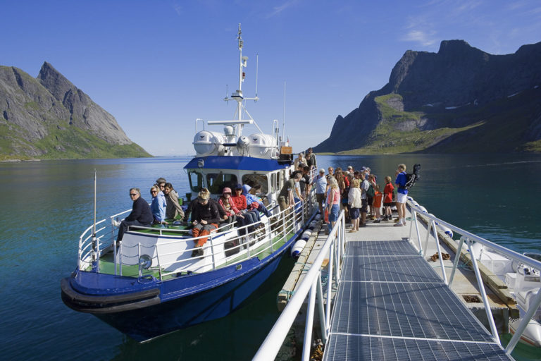
Image: Hiking above Kirkesfjorden by Baard Loeken, provided by Visit Northern Norway.
ノルウェー旅行のプランを立てる
無料のインタラクティブなトリッププランナーで、ノルウェーのルートを計画し、認証済みのエコフレンドリーな宿泊と交通を予約し、現地のフェリー時刻表を確認できます。
Up Next: Keep Exploring
RIBフィヨルドサファリ ゲーランゲルフィヨルド:クルーズ船では味わえない体験
RIBフィヨルドサファリなら、セブンシスターズの滝からわずか15メートルの距離まで時速35ノットで大接近。このツアーの魅力、惜しい点、そして895ノルウェークローネという料金が本当に妥当なのかを正直にレビューします。
セブンシスターズの滝の下でカヤック体験:ガイランゲルフィヨルドをパドルで4時間
ガイランゲルでのカヤックツアーでは、8名のパドラーがセブンシスターズの滝のすぐ下、切り立った崖の壁に手が届くほどの距離に。4時間、1,550ノルウェークローネ、ドライスーツ貸与。この体験で得られるものと、どんな人におすすめなのかを詳しくご紹介します。
車で巡るガイランゲル:鷲の道、フライダルスユーヴェ、ダルスニッバを一日で満喫
鷲の道は11のヘアピンカーブで620メートルの高さを駆け上がり、ダルスニッバ(標高1,476メートル)からはフィヨルドが細い青い線となって眼下に広がります。ツアーバスと駐車スペースを奪い合うことなく、これらすべてを一日でドライブする方法をご紹介します。