Knivskjelodden:比北角悬崖再往北1450米的岬角
通往马格岛(Magerøya)最北岬角的苔原徒步,位于北角旅游平台以北1450米处。往返18公里,DNT蓝线,终点有签到簿。
Knivskjelodden是马格岛(Magerøya)的最北端,比著名的北角悬崖还要往北1450米。往返18公里,需时4到5小时,DNT蓝线。苔原徒步,无入场费,岬角处有签到簿。仅限六月至九月。
Nordkapp gets the photograph. Knivskjelodden gets the truth. The famous cliff with the globe monument is not the northernmost point of Magerøya. Knivskjelodden is, 1,450 metres further north and accessible only on foot. 18 kilometres round trip across open tundra. No ticket office. No souvenir hall. A sign-in book on the promontory and nothing else.
This is the hike for travellers who want the actual northernmost point rather than the marketed one. It also happens to be free.
The honest grade
DNT Blue. The gain is modest (about 150 metres cumulative) but the terrain is genuinely exposed Arctic tundra. Wet underfoot in early summer. No shelter anywhere on the route. A weather window of 5 to 6 hours with no heavy rain forecast is the condition you want.
The distance is the factor people underestimate. 18 kilometres on spongy ground is slower than 18 kilometres on trail. Budget 4 to 5 hours, not 3.
The route
Trailhead. Signed car park on the E69, 7 kilometres before the Nordkapp tourist complex. Free parking, roughly 30 spaces.
Outbound. Marked T-path across open tundra. Gentle rolling ground with a few boggy sections bridged by stones. 9 km to the promontory, 2 to 2.5 hours.
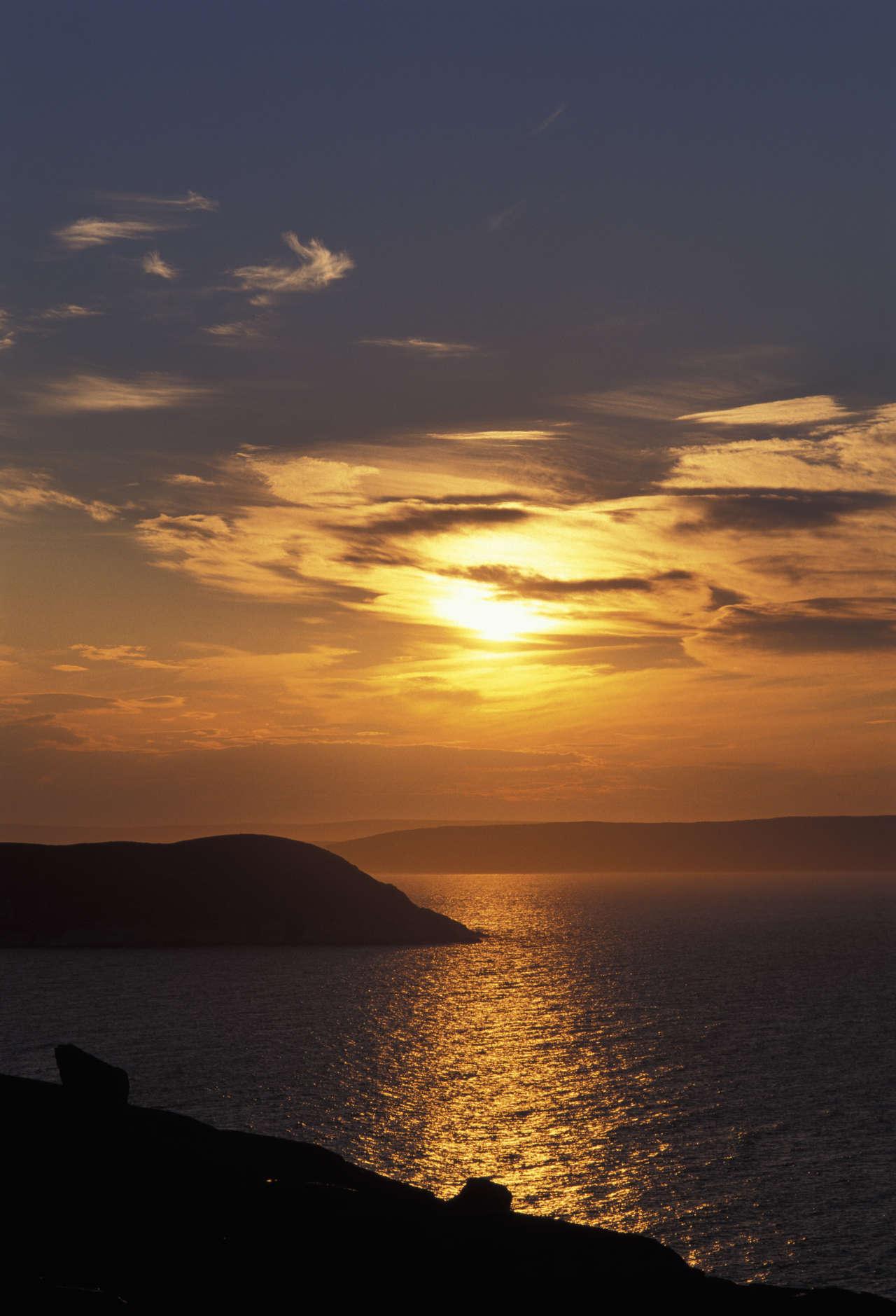
The promontory. A metal sign-in book in a metal tube marks the actual northernmost point. Sign your name. The view is the open Barents Sea on three sides. The Nordkapp cliff is visible back to the south-east — you can see the tourist buses arriving at the plateau you are not on.
Return. Same route. 2 to 2.5 hours.
The turn-back rule
Heavy rain during the outbound: turn back. The ground gets worse, not better, under sustained rain. Fog: turn back if visibility drops under 100 metres. The tundra has no landmarks and the path fades in fog. Wind over 18 m/s: the return trip will be brutal and the promontory offers nothing to see.
Gear
- Waterproof boots. This is the non-negotiable item. Trainers ruin the day.
- Waterproof shell, windproof layer, insulating mid-layer.
- Hat and gloves even in July.
- 2 litres water, food for 5 hours.
- Map and compass. Do not rely on phone GPS — reception is patchy.
- Head torch outside peak midsummer.
Fjellvettreglene applied
Rule 1: plan and tell someone. Rule 3: the weather off the Barents Sea is the variable. Rule 4: self-rescue equipment — Arctic tundra offers zero shelter. Rule 8: turn back on rain or fog.
Logistics
| Item | Detail |
|---|---|
| Trailhead | Signed E69 car park, 7 km south of Nordkapp plateau |
| Parking | ~30 spaces, free |
| Season | June to September |
| Drive from Honningsvåg | 30 minutes |
| Emergency | 112. Phone signal intermittent on the tundra. |
Who should do Knivskjelodden
Travellers who want the real northernmost point rather than the marketed one. Anyone irritated by the 350 NOK Nordkapp plateau entry. Fit hikers who like empty terrain.
Who should skip it
Anyone short on time who only has the Nordkapp plateau in their plan. Anyone without waterproof boots. Anyone who cannot commit to turning back in rain.
规划您的挪威行程
使用我们免费的互动行程规划工具,设计您的挪威路线,预订经过验证的环保木屋和交通,并同步当地渡轮时刻表。
Up Next: Keep Exploring
盖朗厄尔峡湾RIB峡湾探险:游轮无法带您领略的风光
RIB峡湾探险带您以35节的速度,在距离七姐妹瀑布15米处飞驰。这里有关于哪些体验很棒,哪些不尽如人意,以及895挪威克朗的价格是否物有所值的所有信息。
在七姐妹瀑布下划皮划艇:在盖朗厄尔峡湾桨行4小时
盖朗厄尔皮划艇之旅让8名桨手置身于七姐妹瀑布之下,与峭壁近在咫尺。4小时,1550挪威克朗,提供干式潜水服。以下是本次体验的具体内容以及适合预订的人群。
自驾盖朗厄尔:一天之内游览老鹰之路、飞来峡谷观景台和达尔斯尼巴
老鹰之路共有11个发夹弯,海拔攀升620米。达尔斯尼巴观景台海拔1476米,盖朗厄尔峡湾在脚下犹如一条纤细的蓝色丝带。本攻略将教您如何一天内自驾游览这两处景点,轻松避开旅游大巴,不再为停车位烦恼。