Reinebringen:雷讷上方1978级夏尔巴人修建的石阶
罗弗敦群岛最常入镜的观景点。理论上是DNT蓝色小径。实际上每年有50万人排队。以下是如何负责任地徒步。
Reinebringen直接矗立在雷讷村上方448米处。这条小径由尼泊尔夏尔巴人于2016年至2021年间修建,共有1978级石阶。路程短、坡度陡、人潮拥挤。九月开始结冰。本徒步指南基于18年挪威山地工作经验撰写。
The mountain does not care that you drove four hours to get here. That is the rule I start every trail guide with, and it applies to Reinebringen more than most places in Norway. This is a 448-metre peak on a DNT Blue trail. It is also the most photographed viewpoint in Lofoten, with an estimated 500,000 visitors a year on a path that did not officially exist until the Nepalese sherpas finished the stone staircase in 2021.
The numbers you see in guidebooks are inconsistent. The figure that matters: 1,978 steps. Not 1,566. Not 1,566 plus an addition. A dedicated Nepalese sherpa team, funded by Miljødirektoratet and Troms fylkeskommune, laid the final stones in 2021 after five working seasons (2016 through 2021). The staircase replaced a mud gully that was washing down into Reine village below and destroying the cliff face. That history is the context for everything that follows. You are walking on infrastructure that was built to keep the mountain from collapsing under your feet.
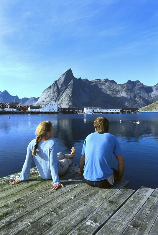
The honest grade
Reinebringen is classified DNT Blue (medium difficulty). In Norwegian grading terms, Blue means elevation gain under 600 metres, distance under 10 km, and no technical terrain. Reinebringen fits the criteria. It also compresses those 400-plus metres of elevation into roughly 1.5 kilometres of stone steps. The gradient averages 30 per cent. In places it steepens to 40.
What this means in practice: you will be climbing stairs for 60 to 90 minutes without a flat section to recover on. Fit hikers do it in 45 minutes. Most people take longer. The descent on the same stairs is harder on the knees than the climb is on the lungs. Trekking poles help. Proper hiking boots are not optional.
The DNT Blue grade does not mean easy. It means the trail is defined, the route is marked, and the surface has been engineered. It does not mean safe in all conditions. Three separate sections of the staircase have caused falls in wet weather in recent years. The upper 200 steps above the Y-junction are the steepest and the most exposed.
The route
The trailhead is a gravel lay-by on the E10 just before the Reine tunnel, roughly 800 metres south of Reine village centre. There is space for 20 to 25 vehicles. In July and August it fills by 08:00. After that, you park in Reine itself and walk the 10 minutes to the start.
From the lay-by, the path drops briefly through birch scrub to the base of the staircase. The steps begin at around 30 metres above sea level. You climb continuously through vegetation to approximately 200 metres, where the forest thins and the fjord opens up below on your right. A Y-junction at around 320 metres splits the route: the standard summit path continues up and to the left, and a shorter alternative viewpoint branches right. Most hikers take the left fork to the true summit at 448 metres.
From the summit ridge, the view over Reinefjord and the village cluster (Reine, Hamnøy, Sakrisøy) is the shot that has anchored Lofoten's marketing for 15 years. There is no shelter on the summit. The wind off the Vestfjord cuts through most standard jackets even in July.
The turn-back rule
Reinebringen has three specific conditions that mean turning around is the correct decision:
- Wet stone steps. The granite is smooth from hundreds of thousands of boot strikes. Wet granite at a 30 per cent gradient is a slide, not a staircase. If the rain has been heavy in the last hour, wait or skip it.
- Ice on the steps. The first significant frost arrives in mid to late September. Once ice forms on the upper staircase, the route becomes a winter mountaineering problem. Microspikes help but do not solve it. The official maintenance closes the upper section intermittently from October through May.
- Strong wind above the forest line. Above 300 metres, the exposure to westerly wind increases sharply. At 15 m/s and above, the upper ridge is not a place for unprepared walkers. Turn back at the Y-junction and come back another day.
There is no shame in the descent. The same stairs you climbed up will still be there next week.
Gear for this specific route
- Hiking boots with an aggressive lug pattern. Trail runners work in dry conditions but slip on wet granite.
- Wind shell jacket (always). Light fleece for summit stops.
- Trekking poles, particularly for the descent. Reduce knee load by 25 to 30 per cent.
- Water (minimum 1 litre). There is no water source on the trail.
- Microspikes from late September through May. Non-negotiable if frost is in the forecast.
- Charged phone. Mobile coverage is reliable across the route.
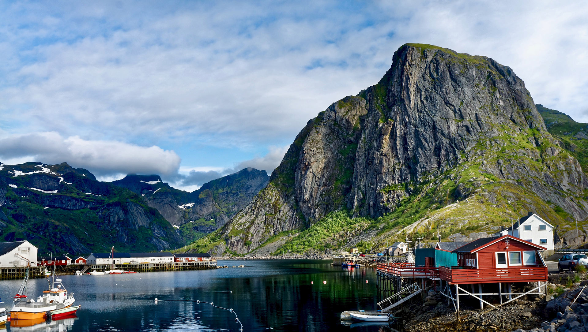
The crowd reality
Roughly 500,000 people a year attempt this route. On a sunny July day between 10:00 and 14:00, the staircase is a single-file queue. The summit platform holds perhaps 30 people comfortably. It regularly has 150.
Two windows work. The first is 05:00 to 08:00. The light is good, the steps are empty, and the air is cold enough that you are climbing with a fleece on. The second is 18:00 to 21:00 in the midnight-sun window (28 May to 14 July), when the cruise visitors have returned to their ships and the summit empties out.
Outside those windows, expect to queue on the staircase. The engineered path is not wide enough for two-way traffic. Passing requires one party to step onto the vegetation (which is against the erosion-control rules the path was built to solve).
Fjellvettreglene on this route
The Norwegian Mountain Code applies everywhere. Four of the nine rules are directly load-bearing on Reinebringen:
- Rule 2: Adapt the trip to ability and conditions. The Blue grading assumes dry weather and daylight. Adjust for wet rock, wind, or shortened daylight in shoulder season.
- Rule 3: Pay attention to weather and avalanche forecasts. Check yr.no the evening before. The Lofoten microclimate can move from sun to horizontal rain in under 40 minutes.
- Rule 4: Be equipped to help yourself and others. Minimum: wind shell, water, charged phone, basic first aid.
- Rule 8: Turn back in time. There is no shame in retreat. The three turn-back triggers above are this rule applied to this specific route.
The logistics
| Detail | Information |
|---|---|
| Distance | 2 km round trip |
| Elevation gain | 420 m (summit 448 m) |
| Time | 2 to 3 hours round trip |
| DNT grade | Blue (medium) |
| Number of steps | 1,978 sherpa-built stone steps (completed 2021) |
| Season | June through mid-September reliable. Ice from late Sep. |
| Trailhead | E10 lay-by south of Reine village (20 to 25 spaces) |
| Parking fee | 100 NOK, paid at machine at the lay-by |
| Trailhead GPS | 67.9299°N, 13.0846°E |
| Mobile coverage | Available along entire route |
| Water on route | None. Carry 1 litre minimum. |
| Emergency | 112 (police/rescue), 113 (medical) |
Who should hike this
- Fit travellers with half a morning in Reine. Start at 05:00. Summit by 07:00. Down by 09:00. You have earned breakfast at Reine Rorbuer.
- First-time visitors to Lofoten. If you only do one hike in the archipelago, this is the shortest path to the view that defines Lofoten on every map and poster.
- Photographers with a tripod. The pre-dawn window (03:30 to 05:00 in June) gives empty steps and diffused light across Reinefjord.
Who should skip this
- Anyone with serious knee issues. The descent on 1,978 stone steps is the hardest part of the day on joints. Trekking poles reduce the load but do not eliminate it.
- Visitors in late autumn or winter. From October through May, the upper staircase is intermittently closed. Even when open, ice makes this a different route than the summer version.
- Travellers looking for solitude. This is the most-walked mountain in Lofoten. If you want a quiet ridge, hike Festvågtind above Henningsvær or Ryten above Kvalvika. Both deliver the same quality of view with a fraction of the traffic.
Marte Åsheim is the Mountain Safety Editor at NorgeTravel. DNT-certified guide with 18 years of experience across Jotunheimen, Rondane, and the Nordic peaks. She writes trail guides so that you come home afterward. She can be reached at hei@norgetravel.com.
Image: Lofoten scenic by Terje Rakke, Nordic Life, provided by Visit Northern Norway.
规划您的挪威行程
使用我们免费的互动行程规划工具,设计您的挪威路线,预订经过验证的环保木屋和交通,并同步当地渡轮时刻表。
Up Next: Keep Exploring
盖朗厄尔峡湾RIB峡湾探险:游轮无法带您领略的风光
RIB峡湾探险带您以35节的速度,在距离七姐妹瀑布15米处飞驰。这里有关于哪些体验很棒,哪些不尽如人意,以及895挪威克朗的价格是否物有所值的所有信息。
在七姐妹瀑布下划皮划艇:在盖朗厄尔峡湾桨行4小时
盖朗厄尔皮划艇之旅让8名桨手置身于七姐妹瀑布之下,与峭壁近在咫尺。4小时,1550挪威克朗,提供干式潜水服。以下是本次体验的具体内容以及适合预订的人群。
自驾盖朗厄尔:一天之内游览老鹰之路、飞来峡谷观景台和达尔斯尼巴
老鹰之路共有11个发夹弯,海拔攀升620米。达尔斯尼巴观景台海拔1476米,盖朗厄尔峡湾在脚下犹如一条纤细的蓝色丝带。本攻略将教您如何一天内自驾游览这两处景点,轻松避开旅游大巴,不再为停车位烦恼。